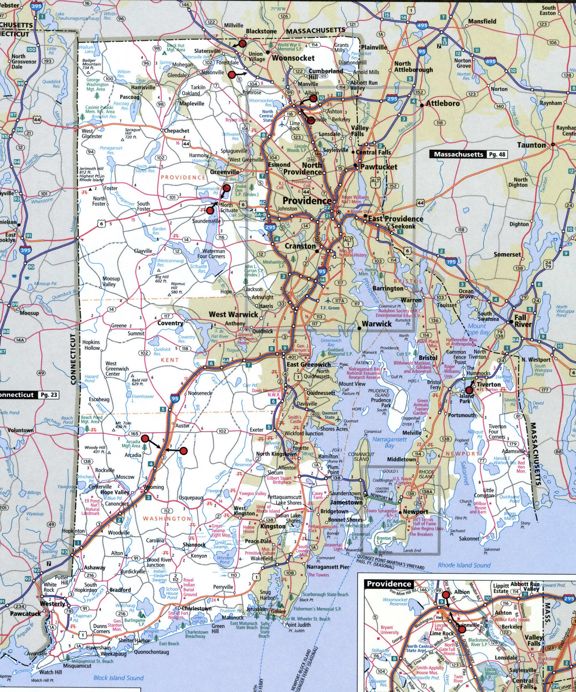
Rhode Island state highway map with truck routes. Rhode Island roads map for trucker drivers
Rhode Island roads map with cities
Map of the state of Rhode Island for truck drivers. The map shows multi-lane highways free and with toll. On the map, the color marked designated route for vehicles with STAA-authorized dimensions. On the map updated restricted routes, low clearance, toll booth, and weigh station locations.
Road map of Rhode Island with locations bridges with low clearance on interstates, U.S. highways, and state routes.
