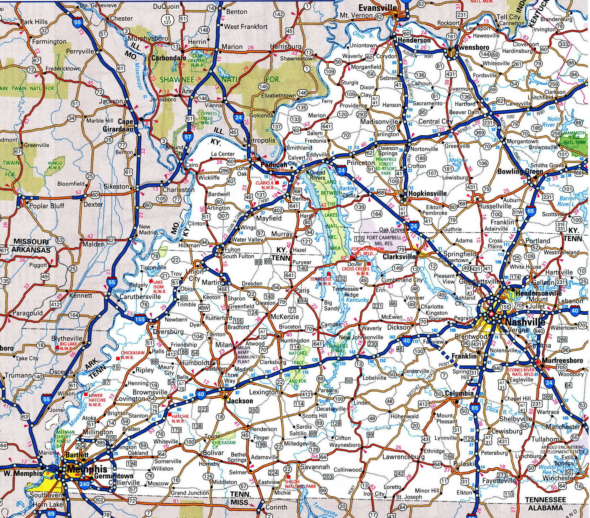
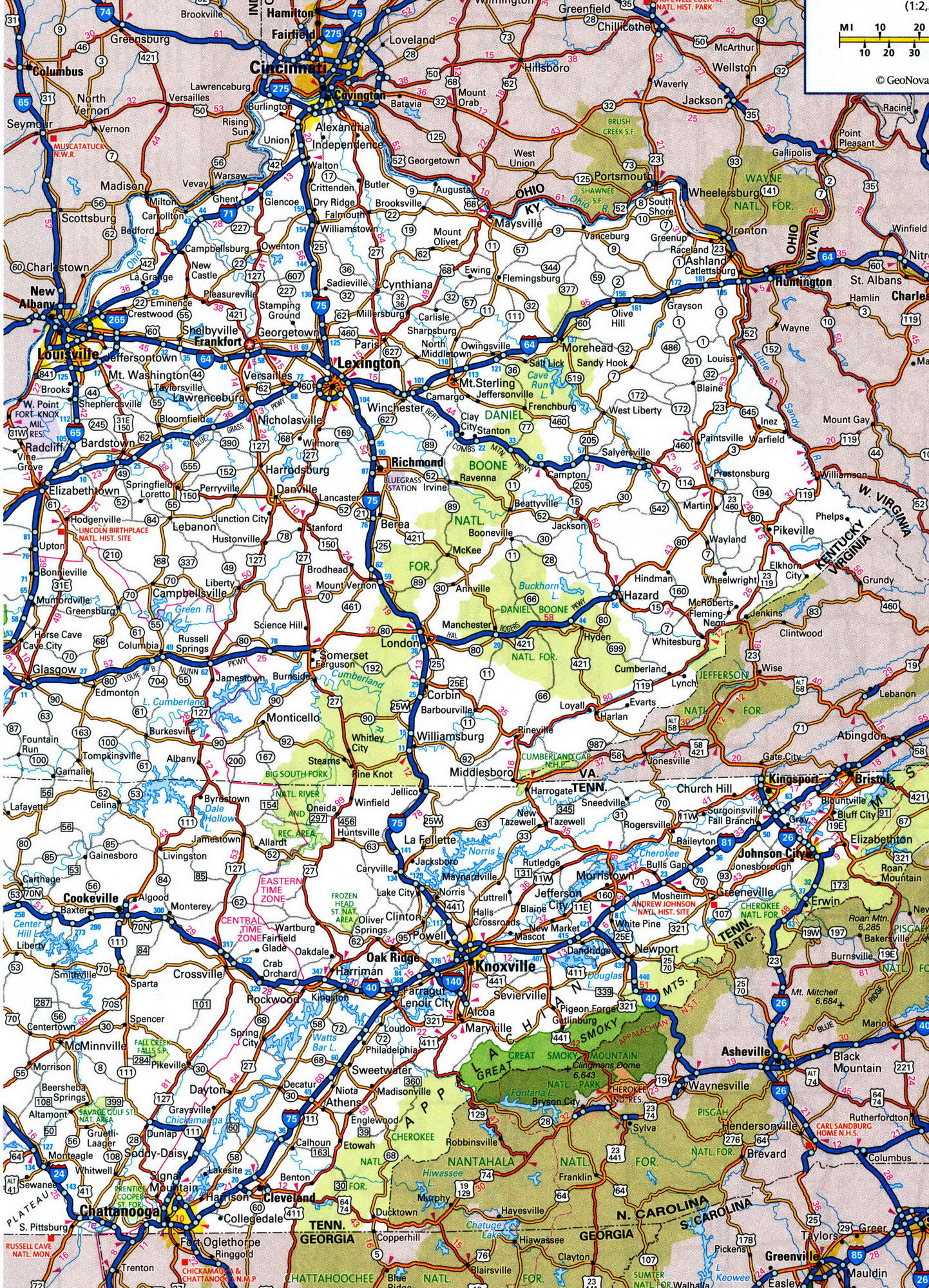
Road map of Kentucky with distances between cities
Kentucky map highway free
Highway map of Kentucky state. Detailed highways and roads map of Kentucky state with cities and towns. Kentucky road map with exit numbers.


Kentucky roads map
Highway map of Kentucky 2021. Free road map of Kentucky state.
Funny and true nicknames of the state Kentucky
- Bluegrass State: Though Bluegrass is not exactly blue in color, it does have a purplish, bluish haze when the buds form in spring. Early settlers would ask for the “Bluegrass” seed that grew from Kentucky’s soil rich in limestone.
What are the unofficial nicknames of Kentucky state?
- Tobacco State: Kentucky once grew two-thirds of the nation’s tobacco, thus earning the nickname.
- Hemp State: Another large Kentucky-based crop is hemp, and it was once a cornerstone of the state’s agricultural exports.
- Rock-Ribbed State: “Rock-ribbed” refers to the firm and unyielding character traits that are believed to belong to Kentuckians.
- Dark and Bloody Ground: Daniel Boone reported that an Indian chief had described the land after a battle between whites and a concerted force of American Indian tribes along the Cumberland River.
- Corn-cracker State: This term may refer to the
poverty-stricken people of Kentucky that resided in the more mountainous
region. It may also refer to a kind of crane that walked along the
brittle cornfields and made “cracking” sounds.