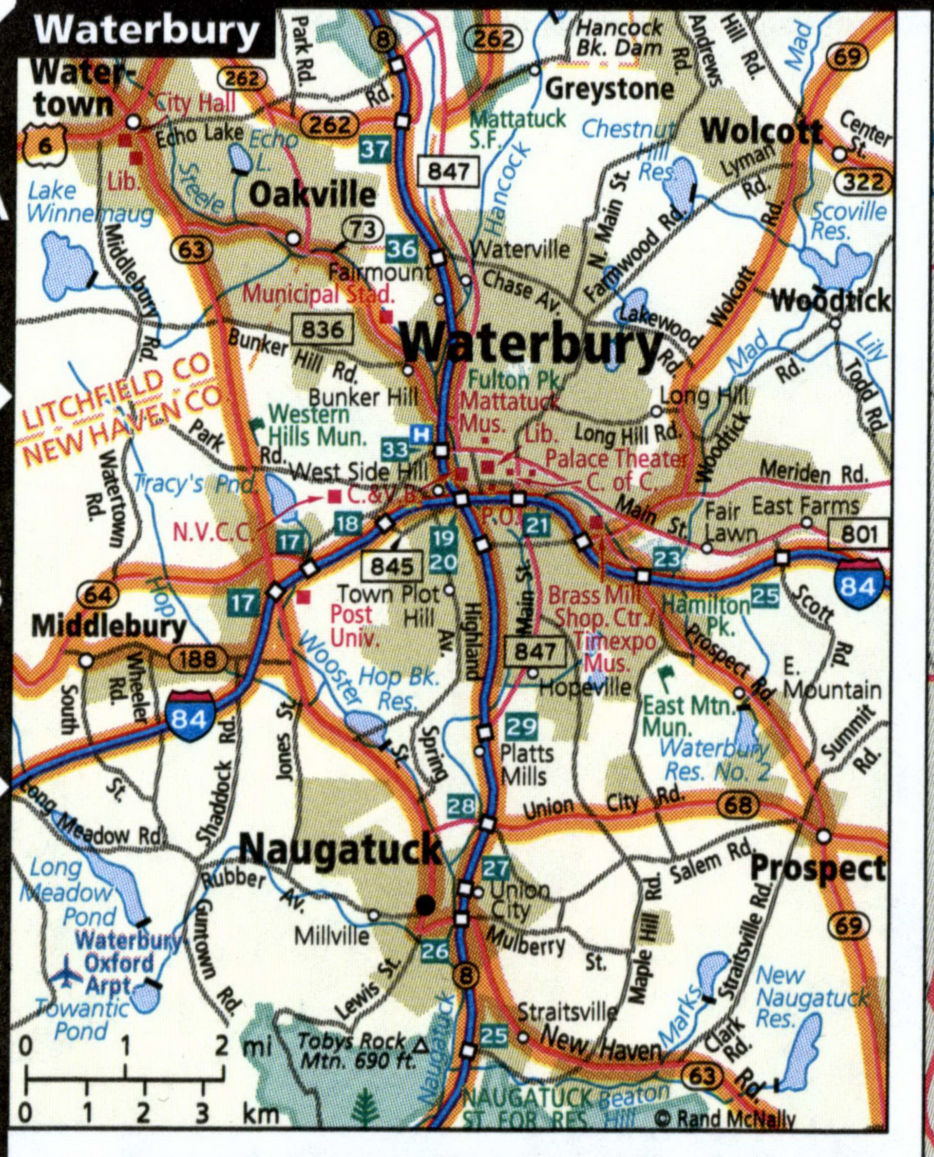
Waterbury city highways map with truck routes
Map of Waterbury (Connecticut) with streets and sights
Map of Waterbury city CT for truck drivers. The map shows multi-lane highways free and with toll. On the map, the color marked designated route for vehicles with STAA-authorized dimensions. On the map updated restricted routes, low clearance, toll booth, and weigh station locations.
Streets map of Waterbury with sights and places of interest.
