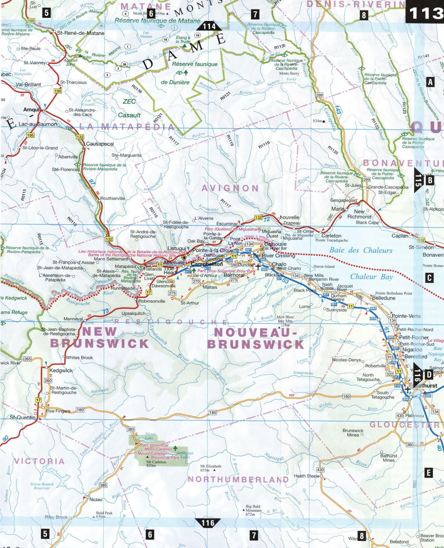
Road map Bas-Saint-Laurent city surrounding area (Quebec, Canada)
Free road map Bas-Saint-Laurent Quebec Canada
Map of Bas-Saint-Laurent. Detailed map of the highway and local roads of Bas-Saint-Laurent with cities and towns


Detailed roads map Bas-Saint-Laurent Quebec Canada
Map of Bas-Saint-Laurent. Detailed map of the highway and local roads of Bas-Saint-Laurent with cities and towns.
Bas-Saint-Laurent
The Bas-Saint-Laurent, or Lower St. Lawrence, region, which stretches east to the Gaspe and south to the borders of New Brunswick and the U.S. border, offers its visitors a mosaic of varied landscapes, from the broad blue horizon of the St. Lawrence River, to the spectacular fall foliage of the valleys, to the round, glacial monadnock rock formations that dot the terrain around Riviere-du-Loup. The land here, both next to the river and further inland, is particularly fertile, and the farms still follow the pattern of the old seigneurial system used to divide land among farmers. The many picturesque islands along the coast are frequented by thousands of seabirds and shorebirds. The area is also noted for its fine woodcarving, which can be seen in many churches and museums.
Cacouna [C1] Cacouna was once a fashionable resort area for the Montreal elite between 1850 and 1950, where visitors came for saltwater bathing and grand hotels. The Heritage Tour includes stops at an old Anglican church, a number of beautiful heritage homes (the "summer resorts" of days gone by), and the Saint-George Catholic church and presbytery (1838), now classified as historic monuments.
Causapscal [B5]
Marked by its distinctive sawmills, Causapscal lies on the Matapedia, one of the best salmon rivers in North America. The Domaine Matamajaw is a museum that recounts the history of salmon fishing and the private clubs that operated in the area between 1873 and 1950. You can observe the salmon in the summer at nearby Chutes et Marais. Don't miss the pretty covered bridges south of town.
Rimouski [A3] Capital of the Bas-Saint-Laurent region, Rimouski is an important educational, religious, and cutting-edge cultural center, a fact reflected in its many fascinating museums, galleries, churches, parks, and interpretation centers. The town is built on three levels, extending from the shore to a plateau that overlooks the river and Saint-Barnabe Island.
RlVIERE-du-loup [C1]
The crossroads between the North Shore, the Gaspe, and New Brunswick, Riviere-du-Loup has long been a strategic hub, going back to the days when it was the eastern terminus for the Canadian railway. Built on winding, hilly streets, the city's eclectic street life and rich marine and transportation history is best seen on foot. Over 200 new and historic bells are on display at Les Carillons, ranging from 35 kg to 2.5 t. A ferry links Riviere-du-Loup with Saint-Simeon.
Saint-Fabien-sur-Mer [B2] Saint-Fabien offers many opportunities to see the local fauna and flora in their element. Animafaune is an educational wildlife center where you can see more than 15 indigenous animal species. At nearby Bic Provincial Park, you can kayak around the islands or take an aqua-ecological tour and view eider ducks, sea otters, and harp seals.
Sainte-Luce [A3] A quaint seaside village with a pristine beach, Sainte-Luce holds a unique sand-castle-building competition in summer (upper left). Don't miss the sumptuous architecture and stained-glass windows of Sainte-Luce Church, built in 1840.
Saint-Narcisse-de-Rimouski [B3] Just outside this quiet town is one of the most breathtaking natural sites in the area: the Canyon des Portes de I'Enfer (Gates of Hell Canyon). Follow 10 km of footpaths to the highest footbridge in the province for an unparalleled view of the canyon. It was named by the first drivers who had to manage the flow of logs floating down the Rimouski River, where the turbulent waters thunder down a 90 m gorge.
LOCAL LORE
A Wolf by Any Other Name
Legends in the Bas-Saint-Laurent region often have their origins in unique place names or geographical features of the landscape. Three different legends may suggest how Riviere-du-Loup got its name. The first legend attributes the name to a French ship, Le Loup, which was forced to wait out the winter of 1659-60 at the mouth of the river. The second legend has it that a native tribe who called themselves "Les Loups" (The Wolves) lived on the site where Riviere-du-Loup became a village in 1850. The third and most likely legend explains that the name comes from the many seals or "sea wolves" (loups-marins) which congregated at the river's mouth many years ago, filling the air with their wolflike cries.