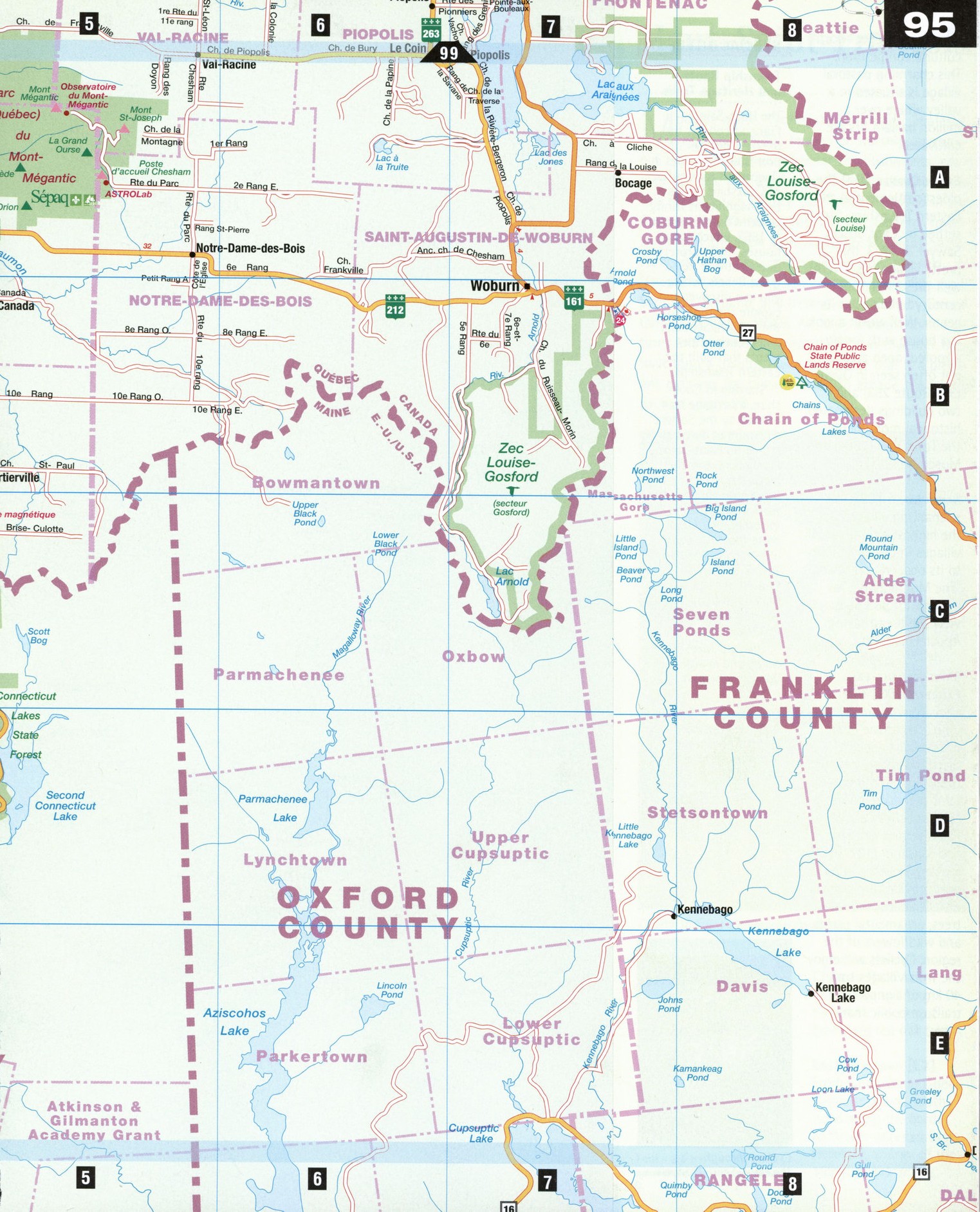
Free roads map of Haut-Saint-Francois area, Quebec Canada
Road map of Haut-Saint-Francois Quebec Canada


Free roads map of Haut-Saint-Francois Quebec Canada
Map of Haut-Saint-Francois. Detailed map of the highway and local roads of Haut-Saint-Francois with cities and towns.
Haut-Saint-Francois
Modest white Protestant churches, majestic Roman Catholic houses of worship, century-old mansions and commercial establishments, covered bridges, and aged cemeteries all contribute to this region's rich history. Comfortably nestled in the Appalachian lowlands east of the Eastern Townships near the New Hampshire border, Haut-Saint-Francois was first inhabited by the Abenaki, or "People of the Rising Sun," later by colonists from Scotland, England, and Ireland and finally by French Canadians in the 1870s. All have brought their cultures and experiences with them, and together they have built a unique, diversified place that is a pleasant getaway for those looking to escape the hectic pace of urban life.
Cookshire [A2] The birthplace of John Henry Pope, one of the founders of the Canadian Pacific Railway, Cookshire has strong American and Anglo-Saxon roots. You can drive by Pope's old home on Hwy 108, Chateau Pope, an impressive building ringed by a series of grand old red oak trees.
East Hereford [E2]
From Saint-Venant-de-Paquette, travel southward along the border to flower-adorned East Hereford, winner of the 1999 Lysd'Or in the "Fleurir le Quebec" horticultural competition. This charming pastoral village is situated in a valley where over a million balsam firs are cultivated.
Eaton Corner [B2] The oldest settlement in the Eastern Townships, first settled by Capt. Josiah Sawyer in 1793, this pretty village has several well-preserved 19th-century buildings at its center. Well worth a look is a house with loggia, a roofed, open arcade not often seen in Quebec (361 Route 253) and two buildings designated historical monuments: the Town Hall (1864) and Museum (1841).
Saint-Malo [C2] This enchanting village has the highest altitude of all villages in Quebec. Climb to its observation tower, "The Montagnaise," at a height of 585 m, to view the breathtaking Appalachian vista.
Saint-Venant-de-Paquette [D3] This enchantingly small town (pop. 111) at the heart of the Appalachians offers a striking view of the valleys and mountains along the border. The Poet's Trail at the Saint-Venant Church and Museum (1877) is a pathway and garden that provides a peaceful retreat amidst the native trees, ornamental plants, and wildflowers of the region. Cyclists will enjoy the Trois Villages trail, 40 km of signposted trails on public roads.
SPECIAL INTEREST
Township Roots and Heritage Trails
The Haut-Saint-Francois collects the greatest number of protestant churches in Quebec. At the center of Cookshire stands the magnificent Trinity United Church, erected in 1863, which today houses the Interpretation Centre of Religious Beliefs, where you can discover and explore the roots of the English, Scottish, and French settlements that built the Eastern Townships.
Starting in Cookshire, a heritage trail offered by the Societe d'histoire et du patri-moine du Haut-Saint-Francois reveals the picturesque history of the region through the work of its builders, including churches more than 100 years old-such as the neo-Gothic St. Paul's Church in neighboring Bury-and a marvelous covered bridge built in 1868.
The tour takes three hours and is available upon reservation.
Open June 24-Sept 6. 190, rue Prineipale Ouest, Cookshire. Information: 1-819-875-1022